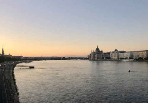
BERLIN — The Brandenburg Gate is one of the most recognizable symbols of Berlin and the Wall that divided the city for more than 28 years. Normally the area surrounding it is packed with tourists snapping photos, but on a Friday afternoon in mid-May I was one of only a handful of people there.
It was a turning point in daily Covid-era life here: Restaurants were reopening and people starting to feel comfortable leaving their homes again, but there was still an air of discomfort after the height of the pandemic. It was also a point at which, after weeks inside, I was desperate for a source of socially distanced exercise and a chance to enjoy the increasingly warm spring weather.
So I decided to walk the Berlin Wall Trail, which traces the 160-kilometer (100-mile) path of the former Wall. It cuts straight through the center of the city from north to south then wraps around what was West Berlin along the border of various towns and cities in Brandenburg.
The Berlin Wall stood from 1961 to November of 1989, separating families and friends and dividing a country for a generation. Although the Wall has been gone for three decades, its effects can still be felt today: Eastern Germany still lags behind the west economically, and many eastern Germans feel they’re treated like second-class citizens. The east also votes differently: As I’ve written from various cities in the region, the far-right Alternative for Germany (AfD) is disproportionately strong there.
I split the 100-mile trail into 16 manageable sections, ranging from two or three up to 10 miles at a time. Some I walked alone, listening to audiobooks or getting lost in thought; others I walked with friends, bringing along picnic lunches or snacks for the longer routes, figuring it was one of the safest ways to spend time together in the early days of reopening.
Reminders of the city’s divided history are sprinkled along the path: signposts commemorating each of the 140 people who were shot trying to cross the border stand at the various points they chose to flee, briefly detailing their life story and how they died. Elsewhere, large street signs with maps of Europe mark the points at which Germany and Europe were divided until 1989.
But much of the trail is simply a path through the often rural landscape along the border between Berlin and the eastern German state of Brandenburg. At times, I walked next to massive fields or through forests; one section required a ferry ride across Wannsee Lake, picking up again on the other side of the water. After weeks stuck at home, having the opportunity to be out in nature—and for the most part, far away from other people—was a welcome respite from my apartment.
In mid-July, four of us gathered for the final section of my walk. We started at the bridge on Bornholmer Strasse, the first to open on the night of Nov. 9, 1989, and continued down to the Brandenburg Gate to complete the 100-mile loop. This time, two months after I began, the area was much livelier: There were still fewer tourists than on a pre-coronavirus summer Sunday but it was far from the eerie scene I’d encountered in mid-May.
During the two months I’d walked the Berlin Wall Trail, the city had woken back up. The many hours spent walking gave me a chance to see parts of Berlin I otherwise never would have seen—and to be reminded of its history, which really is everywhere here.
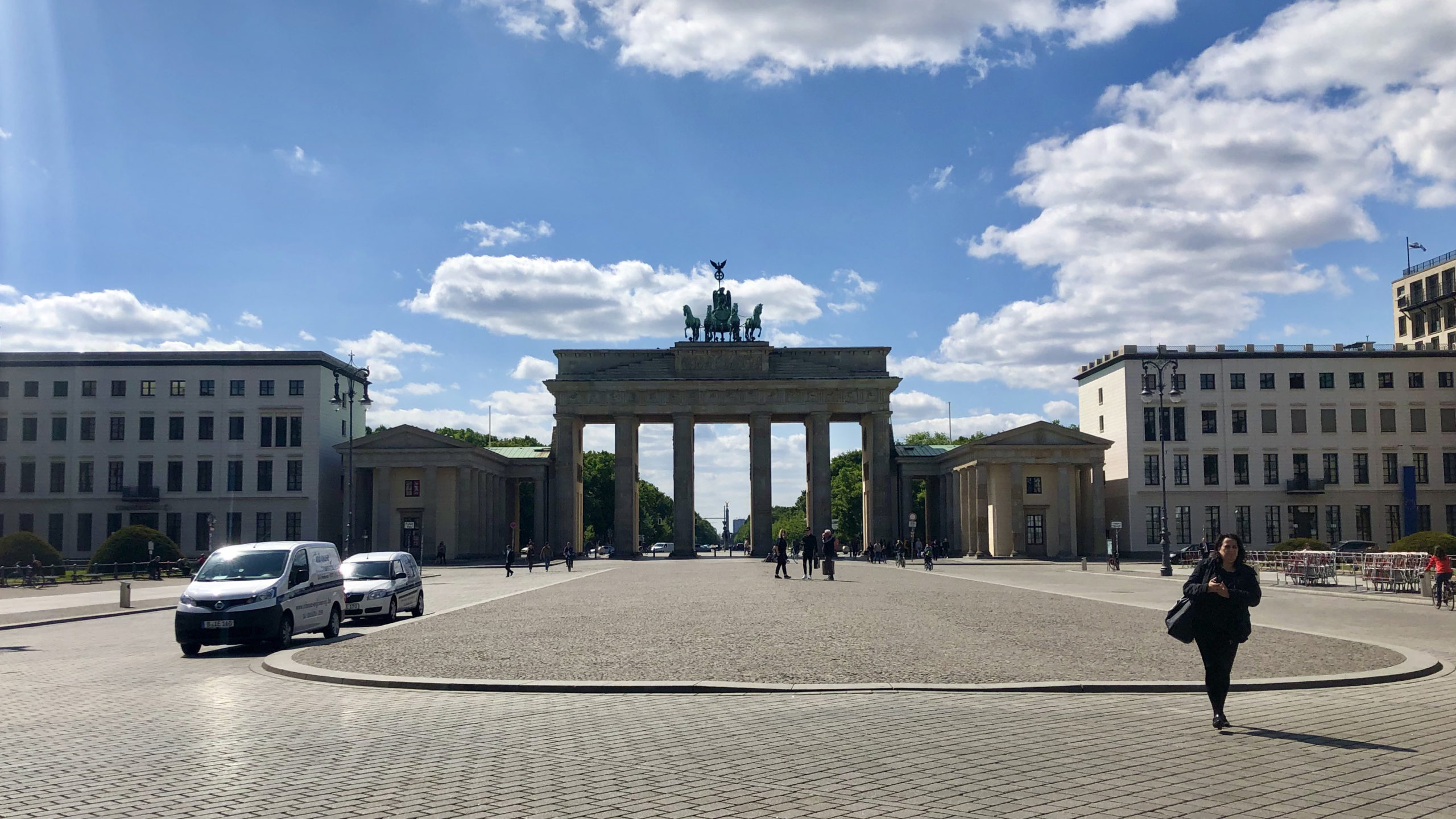
My starting point: Berlin’s Brandenburger Tor, the best-known symbol of the divide between East and West
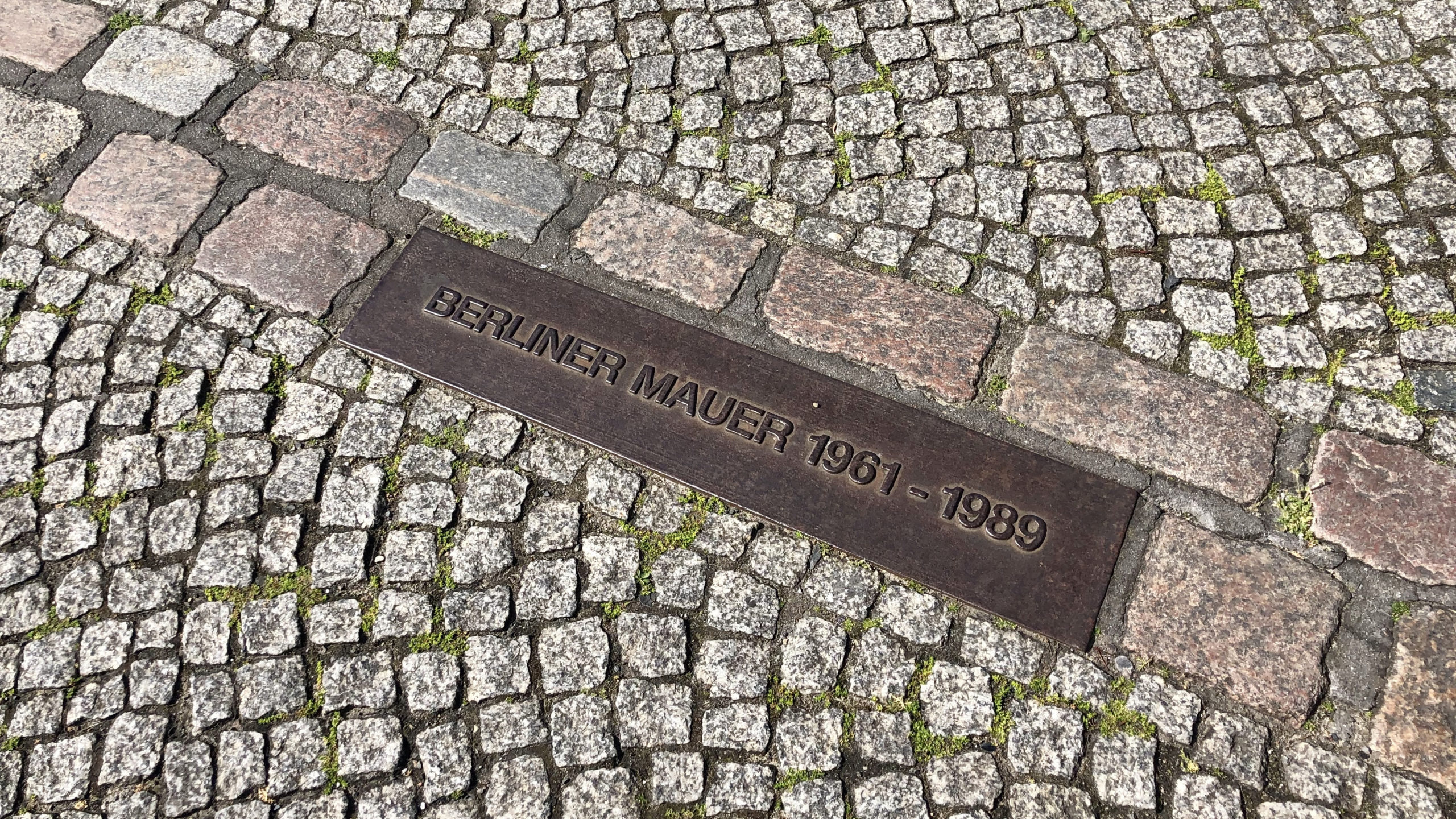
Stones and a plaque commemorating the path of the former Wall, which run through the city
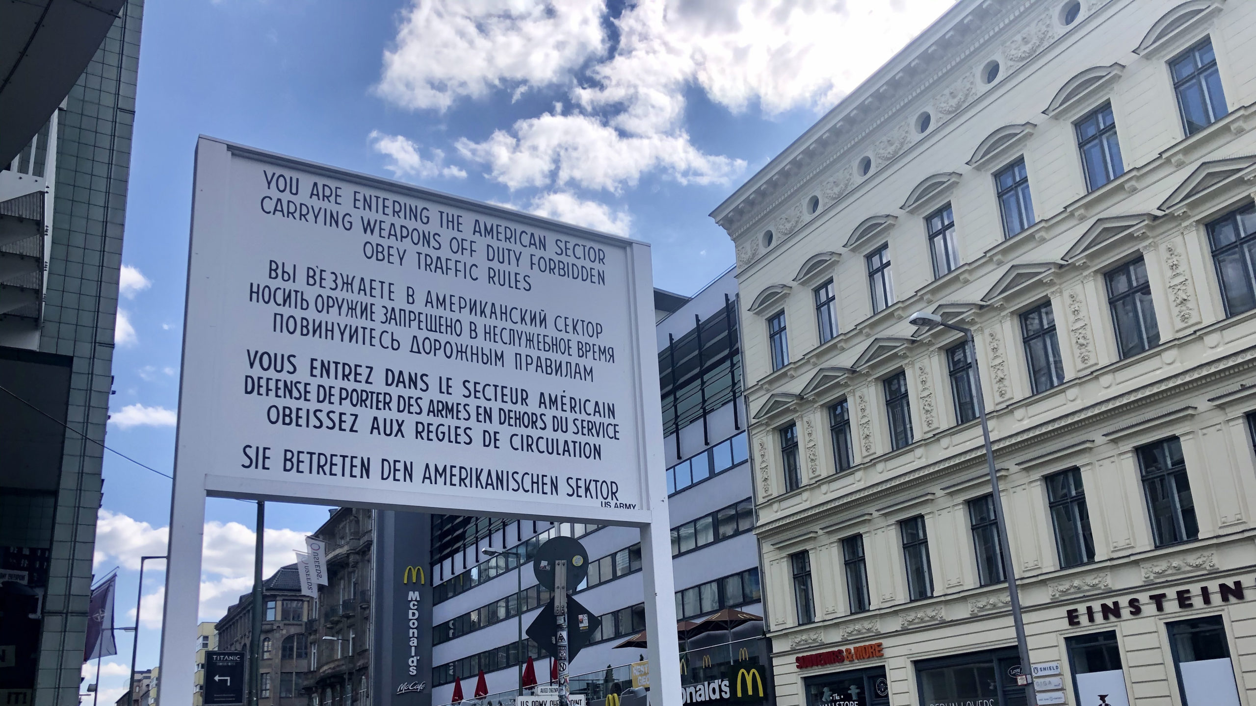
An eerily empty Checkpoint Charlie, one of the former Wall crossing points that’s normally overrun with tourists
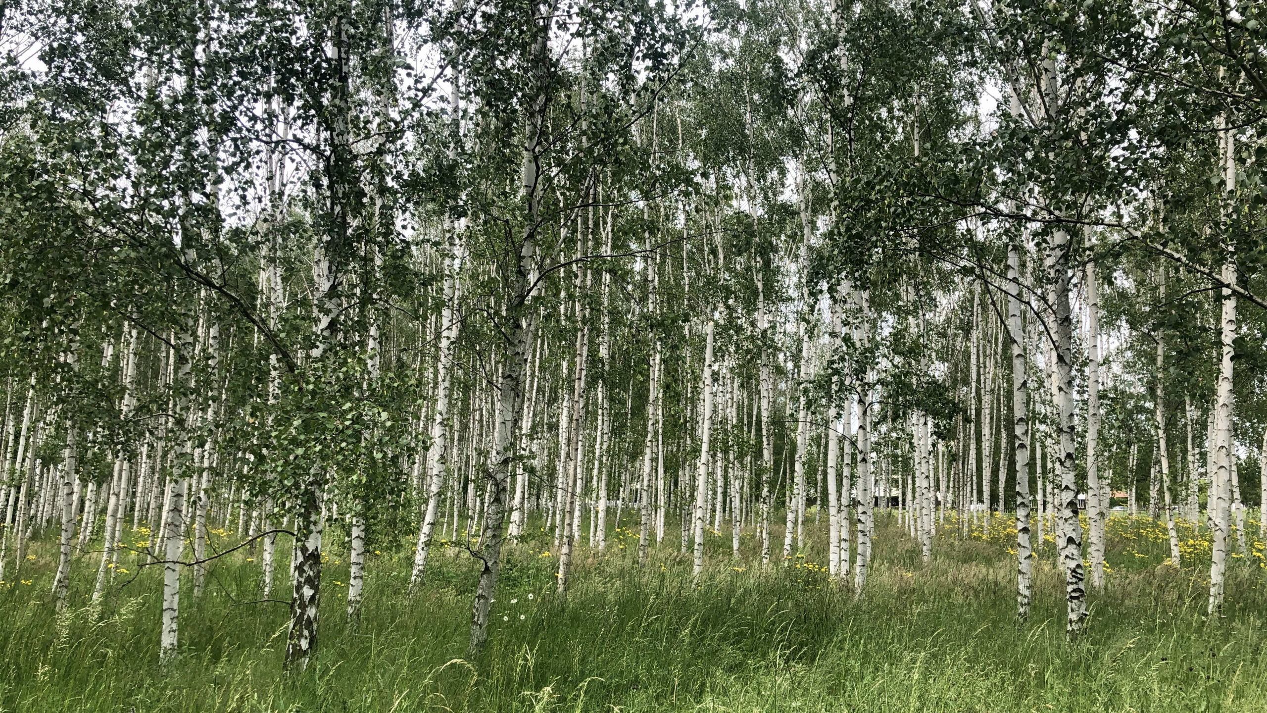
Trees in Rudow, along the southern edge of the city, where much of the trail passes through wooded, sparsely populated areas
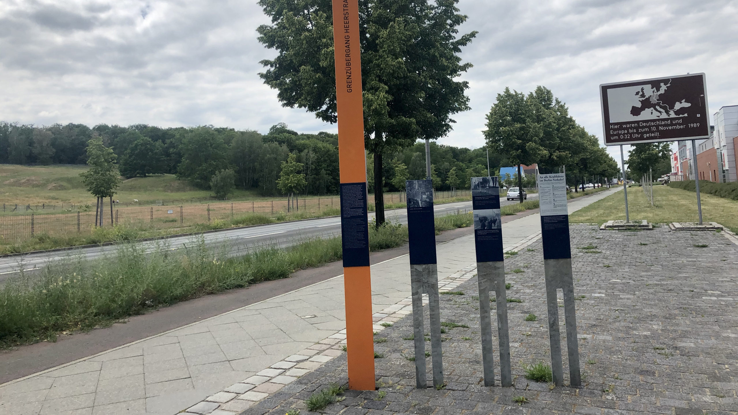
One of many orange signposts commemorating spots where escapees were shot and killed trying to cross the wall. In the background, a sign reads: “Germany and Europe were divided here until November 10, 1989 at 12:32 a.m.”
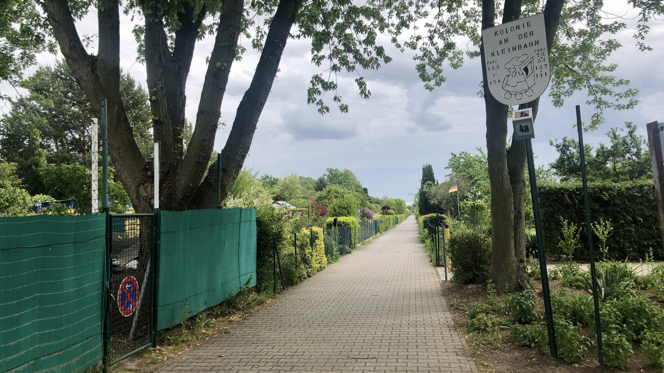
The entrance to one of Berlin’s Kleingartenkolonien, a colony of small garden allotments popular among Berlin residents. Such spaces are common around Berlin, particularly in neighborhoods further outside the city center
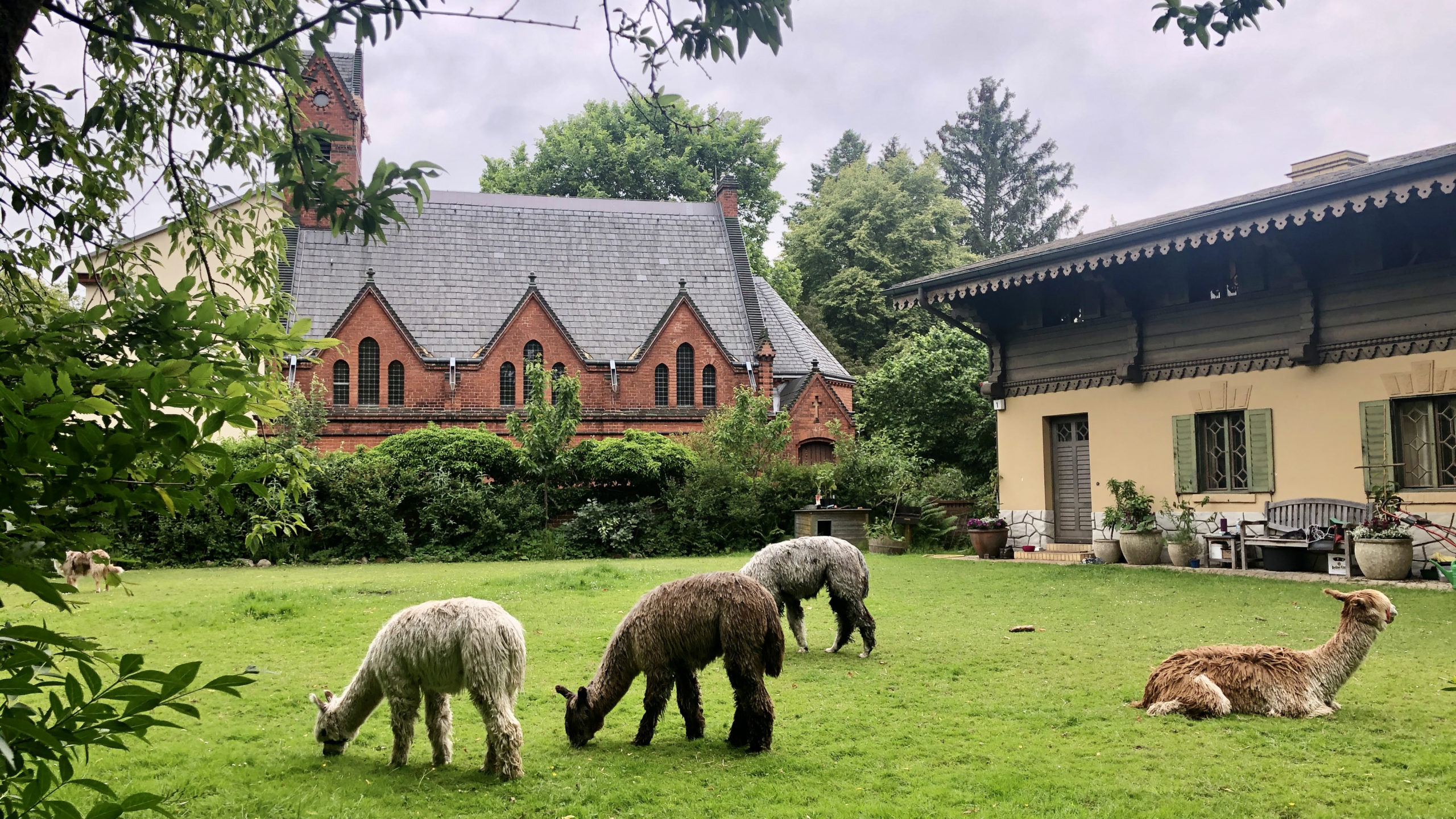
Alpacas graze in a garden in Klein Glienicke, a small town surrounded on all sides by the Wall in the southwest part of the city
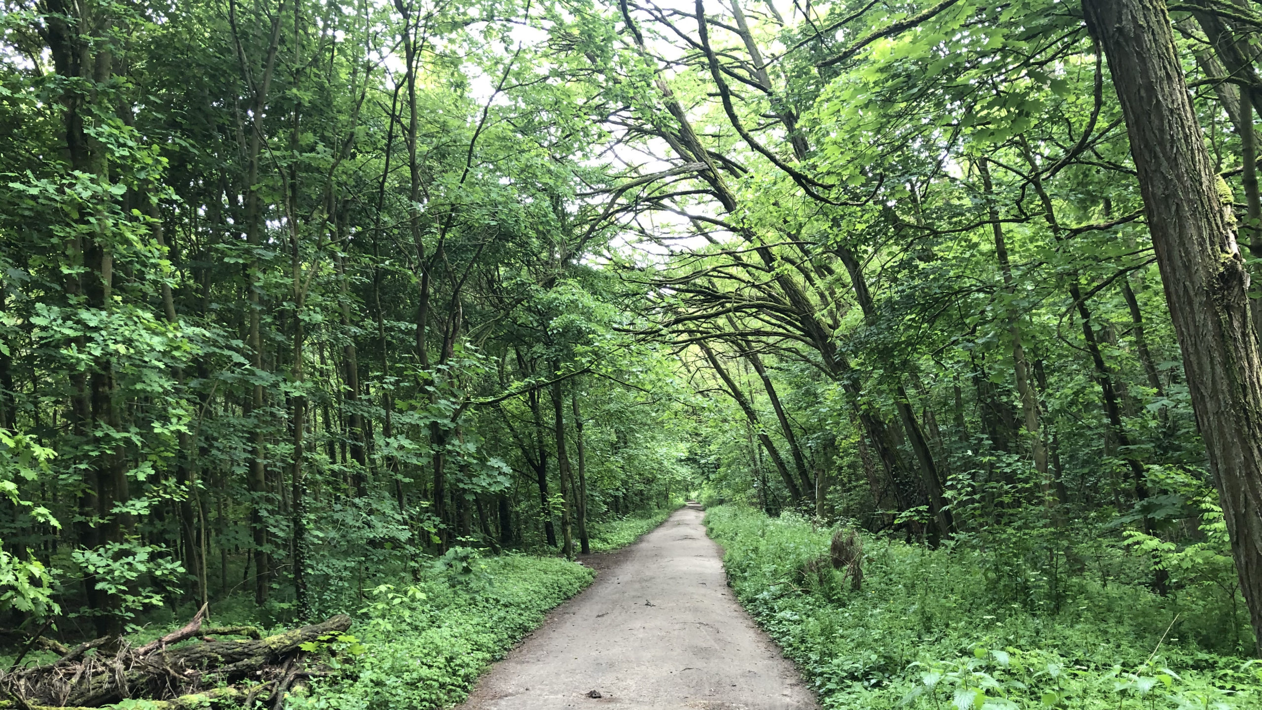
A wooded section of the trail near Lichtenrade, along the southern border of Berlin
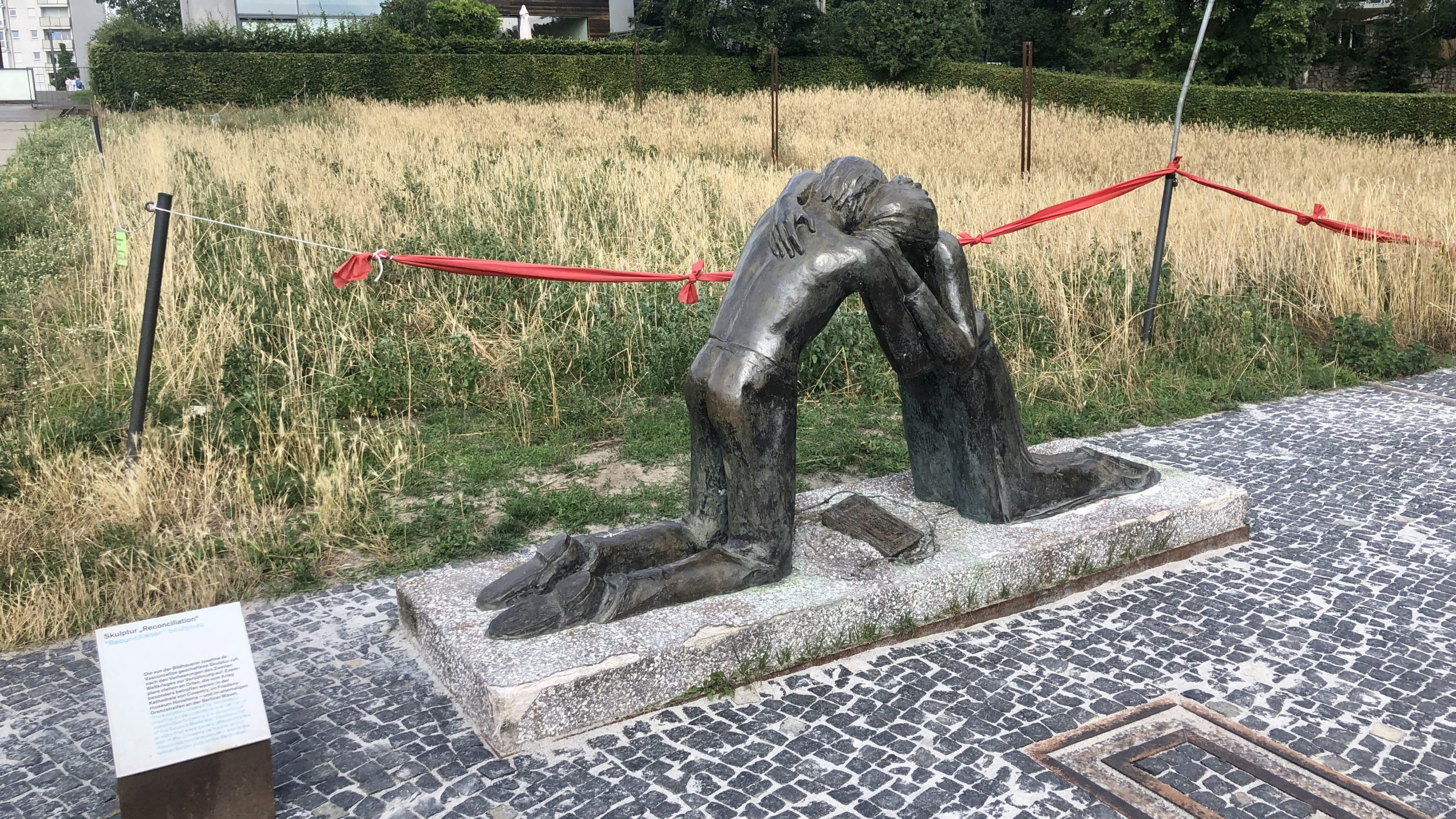
A sculpture called “Reconciliation,” part of the Berlin Wall Memorial in central Berlin that commemorates the reunification of families and friends and the human cost of a divided Germany
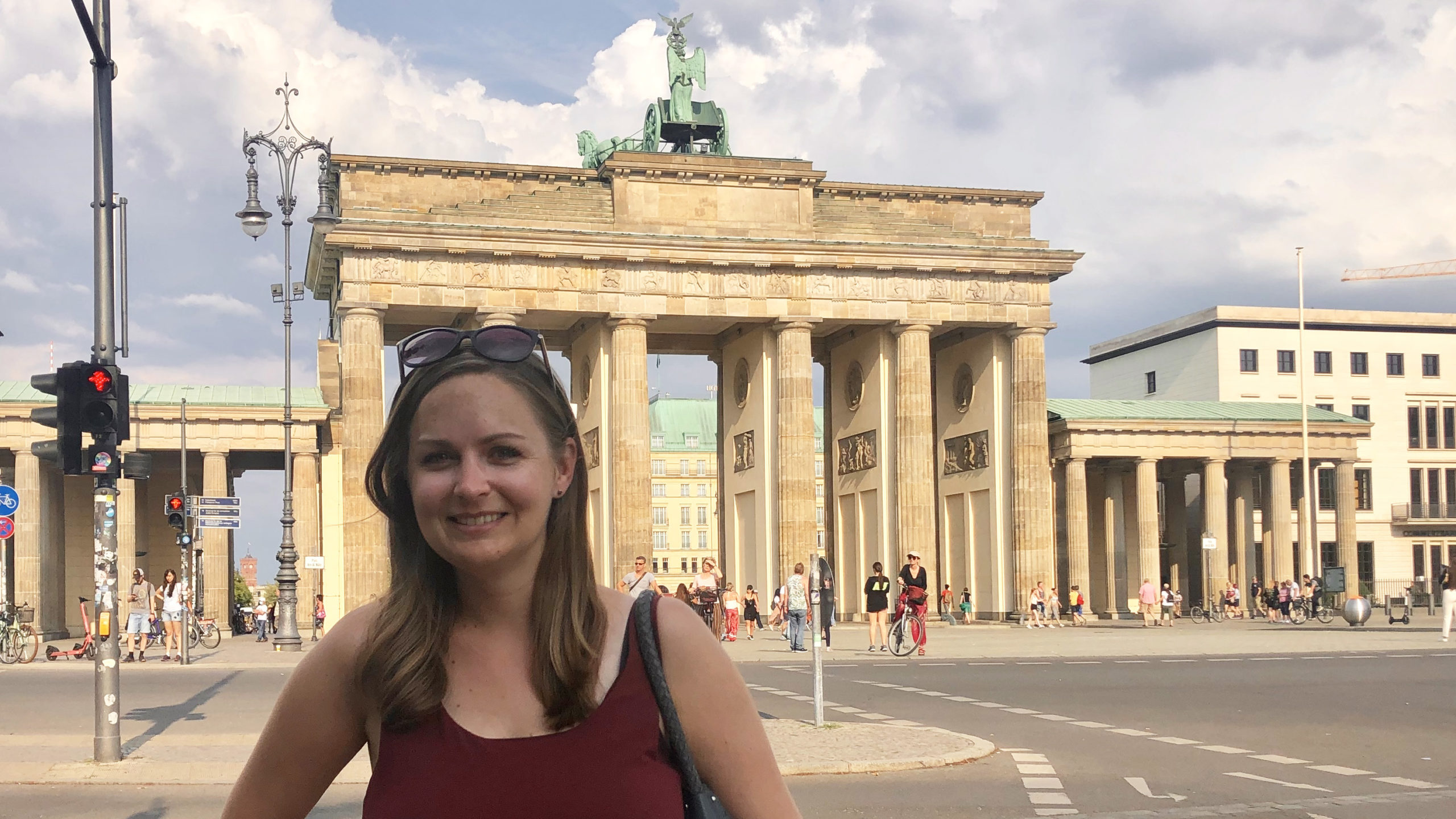
Back at the Brandenburg Gate during the 16th and final stretch of my walk, this time in mid-July, when considerably more tourists were visiting the spot